Friends,
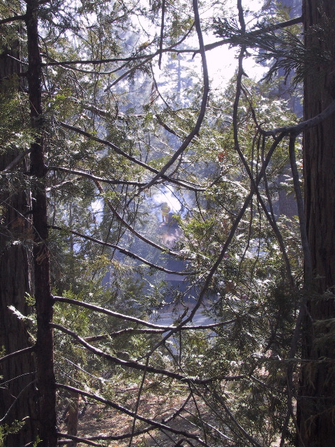
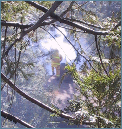
Some flamey flames on the other side of the ridge this evening. Here’s a shot from Palm Springs (via the Desert Sun):

We’re not really supposed to be alarmed though. My little burg is, at this time, not threatened. Let’s have a surprisingly responsive news media explain it…
Smoke and flames from a wildfire burning near Idyllwild in the San Jacinto Mountains is visible across the Coachella Valley tonight.
The fire, which burned about 1.5 acres as of 8 p.m., can be seen at least as far east as La Quinta and was even more visible at the base of the San Jacinto Mountains.
“It’s coming down the ridge over on to our side of the mountain … very high up … but we can see it and certainly smell it from Andreas Hills,” said Marie Weigel in an e-mail to The Desert Sun. She is wife of Palm Springs City Councilman Lee Weigel, who lives in the Indian Canyons area.
The fire was reported about 4:35 p.m., U.S. Forest Service spokeswoman Valerie Baca said.
Firefighters are hiking 3.5 miles, starting at Keenwild Station, on the Pacific Crest Trail to reach the blaze in the Apache Peak area, she said.
They are expected to remain at the scene all night and continue their battle Wednesday morning.
Not my idea of a fun nature hike, that’s for sure. Updates as they occur…
Your pal,
– bob
UPDATE: Oh yeah, KESQ is covering it too. Fewer words, more pictures…

Fire crews from the U.S. Forest Service have been called in to battle a brush fire that sparked Tuesday evening in the Apache Peak area near Idyllwild.
The fire has burned at least 1.52 acres by 7 p.m., Forest Service officials said. Officials, though, are still assessing the acreage burned.
Firefighters are hiking to the fire to battle the blaze.
Officials say the town of Idyllwild is not being threatened.
Well, not threatened. That’s good. I love officials.
UPDATE II: Hey Bob! Where’s Apache Peak fer crissakes! It’s here:
View Larger Map
UPDATE III: The Desert Sun (which seems to be the only halfway serious news organization to be covering this thing) has a new article with a News Infographic™ to explain where the fire is. Kind of like the Google terrain map above. Scooped!
UPDATE IV: The Idyllwild Town Crier weighs in at 8:00 AM on Wednesday with essentially the same information you’ve already read, except for one thing. As is their custom, breaking news can be a teachable moment:
Apache Peak, named sometime after 1867, is a double-headed mountain along the Desert Divide in the State Game Refuge Boundary of San Jacinto Wilderness. The highest of Apache’s summits is the westernmost with a height of 7567 feet, while the eastern summit reaches approximately 7400 feet, barely a quarter of a mile away.
Now class, I want everybody to take out a clean sheet of paper…
UPDATE V: I’m now looking at the CalFire blog (of all things) for the latest from the Forest Service. Not encouraging:
Apache Wildland Fire
Current sizeup: 650 Acres – 0% containment – Potential for 3000 acres [emphasis added – ed]
Now it’s time to get worried.
UPDATE VI: Here are a couple reasons for people on The Hill to be encouraged:
- The wind, although it’s gusting up to 40 MPH, is heading West to East. This pushes the fire away from us.
- On my way back to the Lodge this afternoon, I noticed that somebody had managed to bring a helicopter with a bucket to the party. The levels at Lake Hemet are a little lower this afternoon. Maybe they’re dropping trout and bass on the fire. It’s a Fish Show!
- According to InciWeb, they’ve replaced the incident commander. Hard to know why. The first guy did such a nice job letting a 5 acre fire expand to 700+ acres. (um, you’ve heard of wind and dry brush, right? don’t you think it’s possible that there were circumstances beyond his control? – ed He had to go! An utter disaster! Boo! easy there, sport. – ed
 This was just the beginning of our troubles.


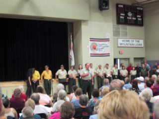
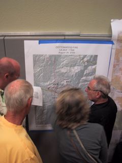
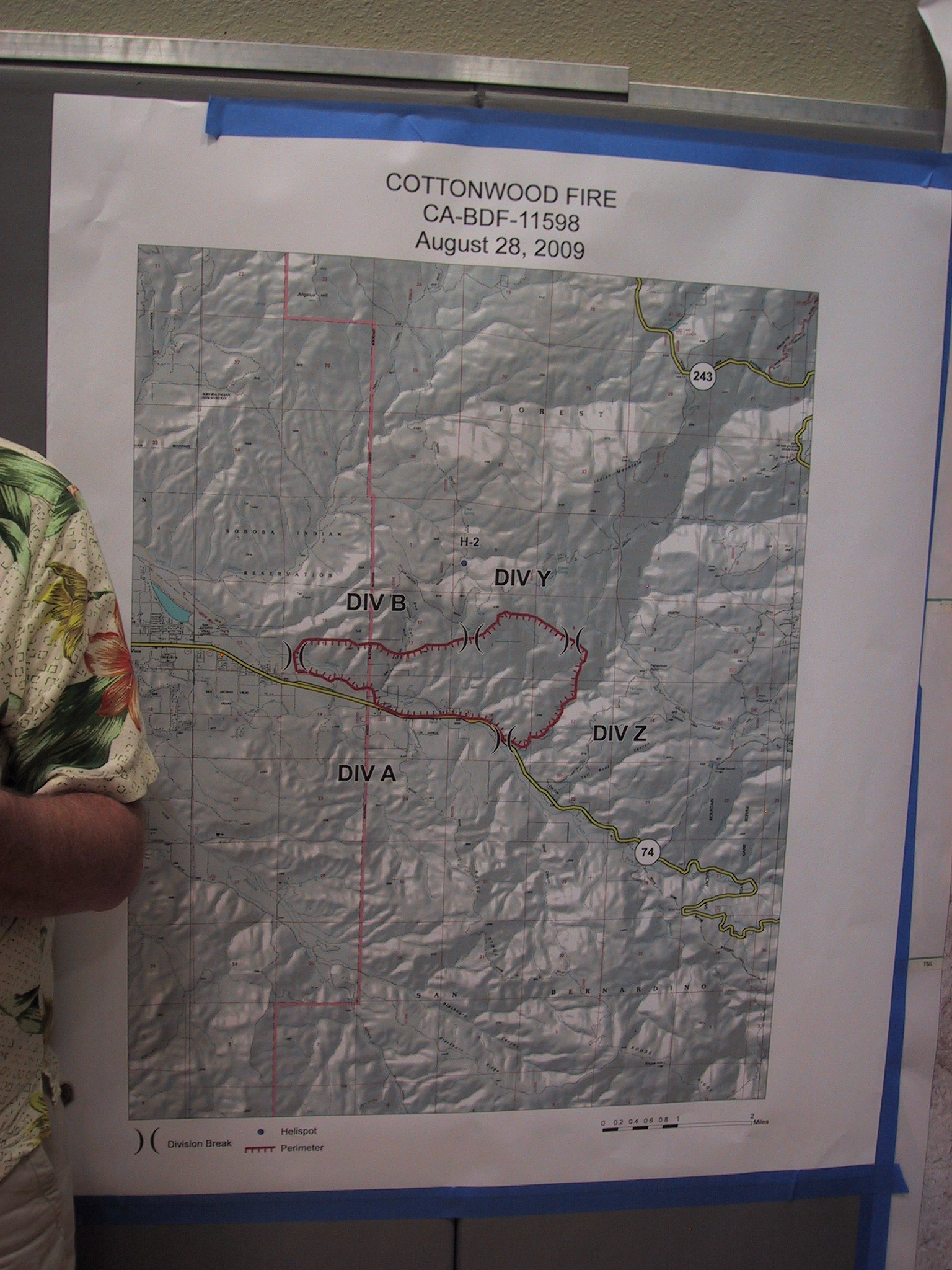


 click to embiggen