Friends,
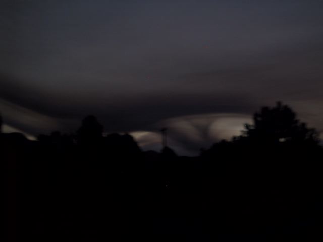
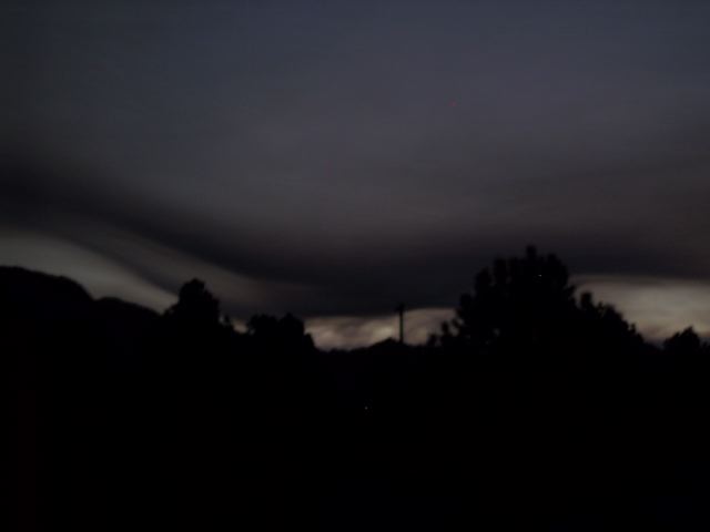
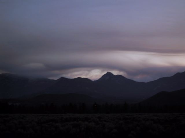
I haven’t found any answers to the question of the murky haze layer covering Southern California. The first two pictures aren’t of my latest chest x-rays, as you might expect, but document my camera’s struggle to deal with the low-light landscape this morning…
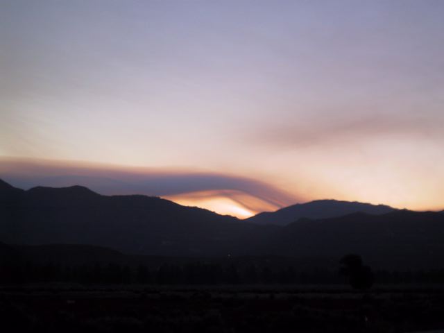
These two were taken a little later in Garner Valley. The fingers of gunk seem to be wrapping around the neck of the Coachella Valley, ready to squeeze the life out of the Festival of Dirt. Happy Friday!
Bigger versions are available with a click. Gianter versions are available on request.
Feel free to speculate on the nature of the bad air quality. Real or imagined answers are welcome.
– bob
UPDATE: From the Town Crier blog comes word from Cal Fire that the smoke is from the La Brea fire [warning: PDF link] 21 miles East of Santa Maria. That’s an awful long way for smoke to travel, isn’t it?
Might seem like it's a long way, Bob, but it happens more often than we know. When Mt.St.Helens blew there was ash and smoke in my hometown – several HUNDRED miles AND at least one mountain range to the east.
TW: bless (wow!)